(Purcellville, VA. April 22, 2009) Members of the Field Day Committee of the Loudoun Amateur Radio Group conducted
a survey of a potential Field Day site on Route 601 in extreme western Loudoun County. The site sits on the Loudoun - Clarke County Line. Grant Russell - KB3EMT had done the coordination and
nominated this location. His presentation at the April 2009 monthly meeting encouraged us all to conduct an on-site visit. Members attending the survey were Field Day Chairman, Jeff Slusher
- KE5APC, Grant Russell - KB3EMT, Jay Ives - KI4TXP, John Unger - W4AU and Norm Styer - AI2C.
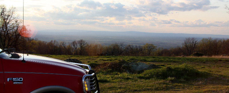
From here you can see way past Winchester some 30-miles to the west. You can almost start to see the curvature of the Earth. A nice visit on Earth Day. The site is equally divided by an entrance
way lined with hand placed stone walls. You can imagine a southern and a northern set of station locations. You may view a nice satellite view from Google Earth. Use these coordinates: 39 Degrees
06 Minutes 21.11 Minutes North and 77 Degrees 50 Minutes 53.47 Seconds West. The site elevation is 1300 feet.
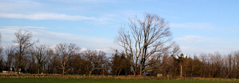
In the southern area, it's recommended that one or more shelters be provided for Station #1 operating on 80-CW, 15-CW, 15-Phone, 10-CW and 10-Phone, Station
#3 operating on 40-CW and Station #5 operating on 20-CW. Tentative locations for shelters and antennas were selected. There is room for a 160-Meter dipole if the CW guys want to vacate 20-CW
in around 2 AM on Sunday morning.
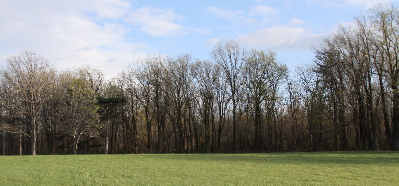
In the northern area, it is recommended that a large shelter be provided
for the food operation with a partitioned off for Station #2 on 75-Phone and 40-Phone, Station #4 on 20-Phone and possibly 160-Meters, and the VHF/UHF Station. Tentative antenna locations
were selected.
| Here is a very rough video of the site taken
from on a rock in the northern station location. It's runs twice. Use the controls to freeze
it. There is no audio since all you would hear is the strong wind on the mike. This also explains
why it looks so jumpy. |
|
Grant Russell also provided some very nice photographs and they are available on-line here:
http://www.kodakgallery.com:80/ShareLanding.action?c=x8rkkym.1dypeh1e&x=0&h=1&y=btmi5t&localeid=en_US&cm_mmc=site_email-_-site_share-_-core-_-view_photos_button
The site will accommodate our station layouts and support facilities very nicely. There are no shelters; so, sufficient tentage or mobile shelters will be required. Two large US Army GP Medium
Tents and a smaller 24 x 12 portable car shelter is recommended. And, of course, include a Port a-John. The site is high and plans for storms, strong winds, and lightning protection are paramount.
Site evacuation plans are necessary.
The Survey Team hope that this brief report adds value to the site selection process.
NNNN |