|
This was an
interesting exercise; it was like trying to recover a downed payload.
After the April 15th monthly meeting of the Loudoun Amateur Radio Group in Leesburg,
Virginia, Tom Dawson - WB3AKD, our Balloon Committee Chairman gave us some bearings
like those you have from your trackers as they lose signal on balloon touch
down. Three from Berryville: 270, 30 and 355, and three from Winchester: 90,
45 and 30. Loss of signal can be different for most trackers as each location
has different terrain. Well, there was not too much in common but clearing he
wanted us to look north on Route 7 and between Winchester and Berryville. If
you looked closer with a map then you could see three potential pockets, each
about 5 to 10 miles across, that might be the landing zone.
Well,
with that approach we all headed west into Clarke County. Bill McCourt
- WF1L from Reston rode with me; we took our time and the others were well
ahead of us. There were 13 trackers in about seven mobile units on the
road. Denny and Carol Boehler - KF4TJI es KF4TJJ were searching well west of
Berryville towards Winchester and then further to the north up I-81 and US-11.
Listening to the 147.300 MHz - WA4TSC/R repeater we learned that others had gone
north from Berryville up into Jefferson County, West Virginia. Bill and I decided
to drive the east-west secondary roads north of Berryville and west of US 340.
By 1230 hours we had made several passes and at several spots Bill thought he
had a light CW signal on 145.65 MHz. We kept looking and soon determine it to
be in the Summit Point, Jefferson County area but still no real strong signal.
We pushed on and stopped at high points; we kept circling Summit Point - once
we even drove thru it. By 1400 hours, it was a long day.
To
make a long story shorter, no one was having any luck; so, Tom
Dawson decided to move into the landing area and give us a few burst
at high power on his mobile unit in hopes that we could track our
selves into the place. That seemed to work for everyone; for Bill
and I, it confirmed all low power sightings. We must be close. It
turned out we were a little late getting in; most had arrived but
as we followed our bearing the real fox started to come alive in
our radios. Well, we got him. It turned out that the range for a
good recognizable signal with a mobile unit was about 3/4 of a mile.
This fellow was really low to the ground with a very small foot print.
Our
longest low signal range detection turned out to be about 3 miles.
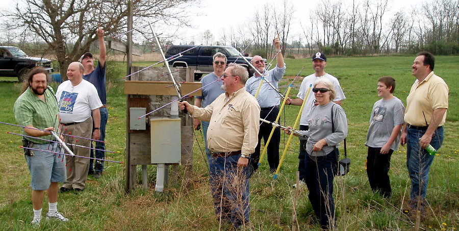
Anyway, it was in a community baseball park northwest
of Summit Point. We drove right in to where everyone was searching
on foot and got our close range gear ready. We walked right up to
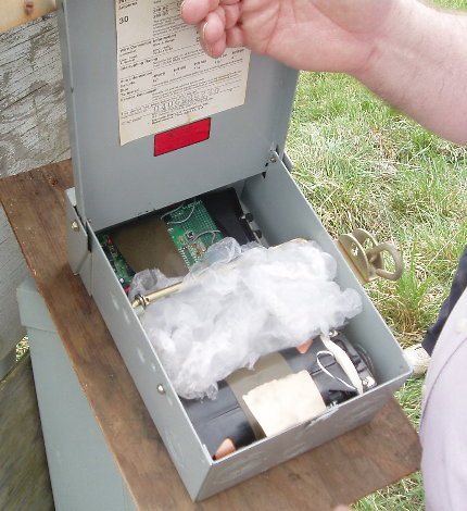
it. A piece of cake after you recognized the label on 'sly fox box'
out door power panel.
Others took a little longer to find the unit but after 20 minute
all were successful .
By now it's 1530 hours; we decide to go over to Charlestown,
West Virginia for dinner. This was a great move and a great meal.
By 1800 hours, Bill and I closed on Canby Road. It was fun and I'm glad
it wasn't the real think for we might still be out there searching.
Thanks for a Great Fox Hunt. Best Regards, Norm Styer - AI2C de Clarkes
Gap, Virginia
|
|

