The Launch Of Sky-Eye II - Flight
2002A
Reported and Photographed By
Tom Dawson, WB3AKD on July 21, 2002
July 20th was a red-letter day for the Loudoun
Amateur Radio Group as we conducted our 4th High Altitude Balloon Flight
- perhaps our best yet. In spite of some changes from our previous flight
operation, the whole operation went very smoothly.
Launch Team: Pam Bozzi - N4OPN, Allon Stern - KE4FYL, John Rehwinkel -
KG4L, and Tom Dawson - WB3AKD.
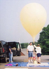
We arrived at
Augusta Elementary School on US 50 at about 07:30 EDT and began setting up.
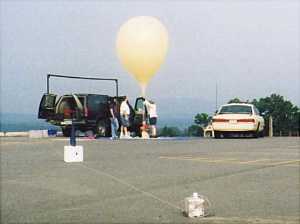
Advance preparation paid off as we were able to setup and execute the
launch
plan without a hitch. We did have to stop and think a bit about the free
lift calculation, but the program provided some years ago by Temp Titus,
W4HZV, kept us straight - 16 lbs of lift just seemed like a lot.
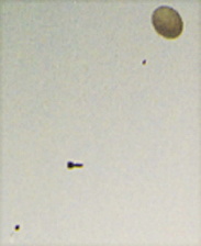
We visually tracked the balloon for a few minutes and tried some pictures.
Trackers acquired
the signal almost immediately.
Ascent continued until about 88 minutes into the flight when the telemetry indicated descent had begun.Trackers continued to monitor the downlink until telemetry indicated touchdown. In a happy departure from our other flights, we never lost the signal.
Strong signal levels were observed from the North Mountain and Winchester areas and the hunt was on. Trackers continued to converge on the touchdown location until we knew we were right on top of it in a heavily wooded mountainous area of Great North Mountain, west of Winchester.
Thanks for the
great team work.
Best Regards, Tom - WB3AKD
NNNN